How AI is Creating the Cognitive Luminaire
28 Apr, 2026

What is LiDAR Technology? LiDAR, short for Light Detection and Ranging, is a remote...
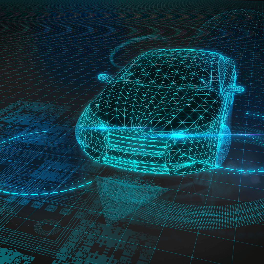
LiDAR, short for Light Detection and Ranging, is a remote sensing technology that leverages laser light to measure distances and construct maps of the environment. It operates by emitting laser pulses and determining the elapsed time for them to reflect off objects and return to the sensor. This data is used to create 3D models of the surroundings. LiDAR technology finds application in multiple sectors, such as autonomous vehicles, geography, archaeology, and meteorology.
Initially, a concept in the 1960s and developed in the 1970s, LiDAR technology was bulky, expensive, and inefficient during its early stages. However, with technological advancements resulting in smaller devices, LiDAR has become a more accessible and critical technology in various industries, including autonomous vehicles.
In cars, Lidar technology helps the vehicle sense and understand its surroundings. The technology uses laser pulses to create 3D mappings of its environment, including objects like buildings, roads, and other vehicles. This information is then combined with other data to ensure safe navigation.
In effect, LiDAR tracks obstacles and vehicles to maintain safe distances. When using this data, it is able to identify road signs, traffic signals, and road markings for real-time hazard analysis. This technology is paramount in ensuring the safe and effective operation of autonomous vehicles.
Mechanical LiDAR uses a spinning mirror to sweep the laser beam, processing the returning laser pulses to produce a 3D map of the environment. It is commonly used in mapping, surveying, and robotics and provides high-resolution data. However, it may be bulkier and less dependable than other LiDAR types, such as solid-state.
Solid-State LiDAR employs a solid-state laser and photodetector for emitting and detecting laser pulses, making it a compact and reliable LiDAR sensing solution. The laser emits light pulses that bounce off objects and return to the photodetector, which calculates the elapsed time for the light to travel there and back. This information is utilised to generate a 3D map of the environment processed by the LiDAR computer. This type of LiDAR is often utilized in autonomous vehicles, robotics, and applications requiring real-time, precise environmental data.
Frequency-Modulated Continuous-Wave (FMCW) LiDAR employs a radar-based method for measuring the distance and velocity of objects using light. Unlike pulsed LiDAR systems that emit short, high-power laser pulses, FMCW LiDAR utilises a continuous waveform that gradually increases in frequency over time. This creates an interferogram that is used to determine the range and velocity of objects in the field of view. FMCW LiDAR offers advantages such as a longer measurement range, better resistance to interference, lower environmental impact, and the simultaneous measurement of multiple objects. It is widely used in autonomous vehicles, industrial automation, and applications that require detailed information about the environment.
Flash LiDAR employs multiple sensors and detectors to generate a high-resolution 3D image of the environment. It works by emitting numerous laser pulses in rapid succession and measuring the elapsed time for each pulse to bounce off objects in the environment and return to the photodetector. The resulting data is utilised to fabricate a detailed 3D map of the environment that provides a comprehensive view of the surrounding area. Flash LiDAR is often used in applications such as mapping, surveying, and robotics where high-resolution data is necessary.
Hybrid LiDAR combines multiple technologies to provide a more complete view of the environment. It utilises the strengths of different technologies, such as the aforementioned, to create a more accurate 3D map. This type of lidar is often used in autonomous vehicles and applications that require detailed environmental data.
Despite how much progress has been made in this field over the past 20 years, many believe that fully autonomous vehicles are still a long way off of being on our roads, whilst some question whether they'll ever get there at all.
The concerns are largely centered around four main areas:
We'll be diving into each of these reasons in a further article soon.
Until then, if you're looking to explore a new role in the automotive industry you can connect with our automotive team by emailing either Dan, Guillaume or Benoit at automotive@mrlcg.com